 11
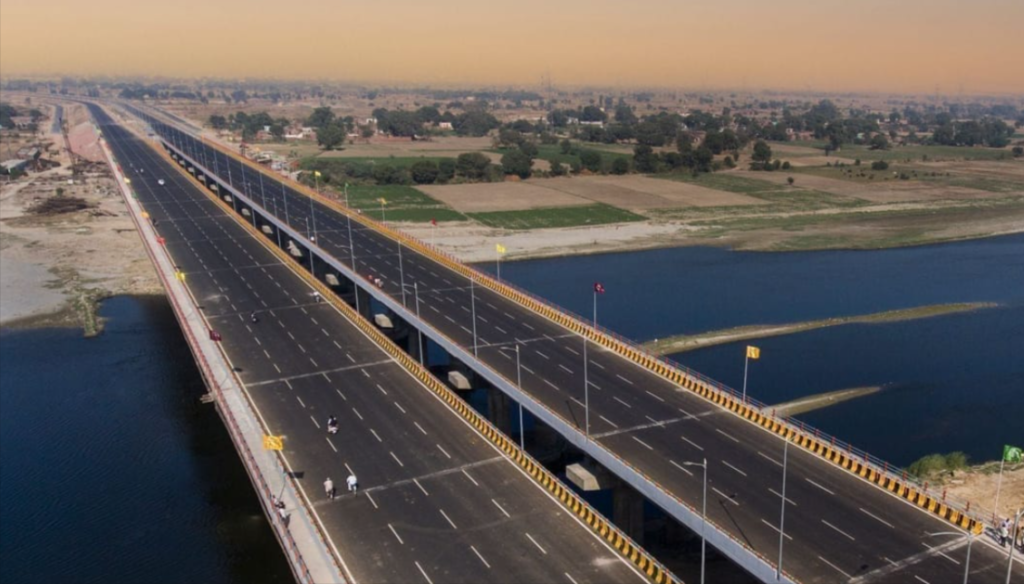
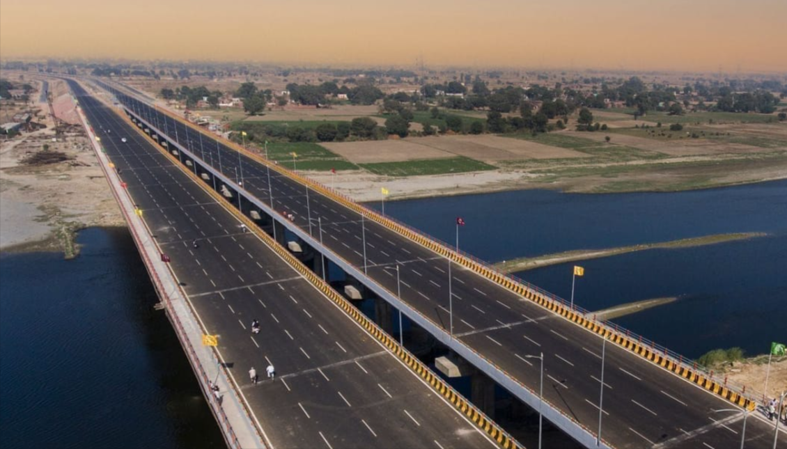
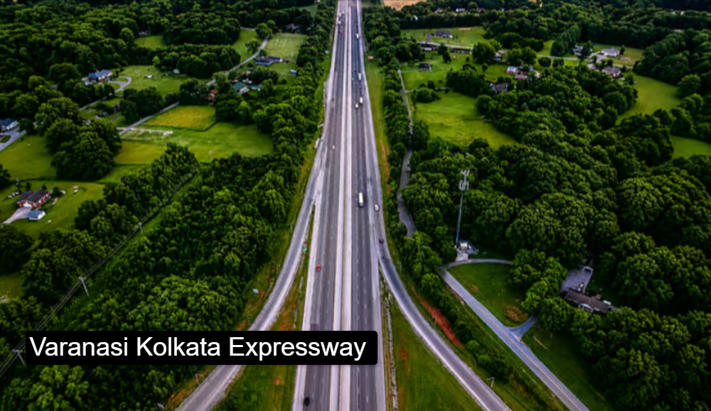
Varanasi–Ranchi–Kolkata Expressway (NH-319B) is a planned six-lane, access-controlled greenfield expressway. It will link Varanasi in Uttar Pradesh with Kolkata in West Bengal via Ranchi in Jharkhand, running broadly parallel to the Grand Trunk Road. NHAI is building it under the Bharatmala programme. The headline benefit is travel time falling from 12–14 hours to about 6–7 hours, and distance from about 690 km to about 610 km.
| Detail | Information |
|---|---|
| Name | Varanasi–Kolkata (Varanasi–Ranchi–Kolkata) Expressway, NH-319B |
| Authority | NHAI |
| Length | About 610 km (see note below) |
| Lanes | Six-lane, access-controlled |
| Start | Varanasi Ring Road at NH-19, near Barhuli village, Chandauli district, UP |
| End | NH-16 near Uluberia, Howrah district, West Bengal |
| States | Uttar Pradesh, Bihar, Jharkhand, West Bengal |
| Cost | About ₹35,000 crore (an earlier source said ₹28,500 crore) |
| Status | Under construction |
| Completion | Estimates vary: 2026–27, 2028 and Q4 2029 |
| Speed limit | Not announced |
| Toll | Not announced |
Route changes:
Most sources give about 610 km (610.417 km in NHAI-style details). By state it is about 22 km in UP, 159 km in Bihar, 187 km in Jharkhand and 242 km in West Bengal. Wikipedia’s main entry currently gives 710 km with a Haldia terminus, and a recent news brief repeats that. This is a longer version of the plan. For a guide, use 610 km and mention the alternate figure.
No official limit has been published for this expressway. I can’t responsibly give a number. For context:
No toll has been announced. The packages are on Hybrid Annuity Mode, which means the builder designs, builds and hands over to NHAI, which then collects toll. When rates are notified, NHAI will publish them. Don’t use a per-km estimate from other expressways.
Is it open?
No. It is under construction.
When will it be completed?
Sources disagree: 2026–27 on Wikipedia, 2028 in a recent news brief, and Q4 2029 per GlobalData. Treat it as unconfirmed.
How long is it?
About 610 km, though some sources say 710 km.
How much time will it save?
About half: 12–14 hours down to roughly 6–7.
Which states does it cross?
Uttar Pradesh, Bihar, Jharkhand and West Bengal.
Why is the route being changed?
Bihar proposed a Sasaram hills tunnel, and West Bengal has requested a revision.